
קובץ:United Kingdom Portugal Locator.png

גודל התצוגה המקדימה הזאת: 800 × 583 פיקסלים. רזולוציות אחרות: 320 × 233 פיקסלים | 640 × 467 פיקסלים | 1,024 × 747 פיקסלים | 1,280 × 934 פיקסלים | 1,788 × 1,304 פיקסלים.
לקובץ המקורי (1,788 × 1,304 פיקסלים, גודל הקובץ: 123 ק"ב, סוג MIME: image/png)
| זהו קובץ שמקורו במיזם ויקישיתוף. תיאורו בדף תיאור הקובץ המקורי (בעברית) מוצג למטה. |
תקציר
| תיאור |
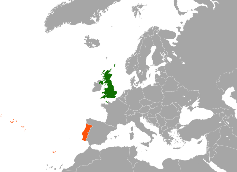
English: Map of Europe indicating the United Kingdom and Portugal. For use in British-Portuguese relations and similar articles. |
| תאריך יצירה | |
| מקור |
|
| יוצר | en:User:Dancingwombatsrule |
רישיון
| היצירה הזאת שוחררה לנחלת הכלל על־ידי היוצר שלה, Dancingwombatsrule מוויקיפדיה האנגלית. זה תקף בכל העולם. יש מדינות שבהן הדבר אינו אפשרי על פי חוק, אם כך: Dancingwombatsrule מעניק לכל אחד את הזכות להשתמש ביצירה הזאת לכל מטרה, ללא שום תנאי, אלא אם כן תנאים כאלה נדרשים לפי החוק. |
יומן העלאה מקורי
תיאור הקובץ המקורי נמצא כאן. כל שמות המשתמשים הבאים מתייחסים ל-en.wikipedia.
| Upload date | User | Bytes | Dimensions | Comment |
|---|---|---|---|---|
| 2007-12-17 12:49:42 | Dancingwombatsrule | 64791 | 1217×974 | == Summary == '''Description:''' Map of [[Europe]] indicating the [[United Kingdom]] and [[Portugal]]. For use in [[British-Portuguese relations]] and similar articles. '''Source:''' Own work based on [[:Image:United Kingdom Greece Locator.png]] '''Cr |
| 2007-07-19 10:59:30 | Dancingwombatsrule | 47438 | 1357×628 | Description: Map of the world indicating the United Kingdom and Portugal. For use in [[British-Portuguese relations]] and similar articles. Source: Own work based on Image:BlankMap-World-v5.png Date: 19th July 2007 Author: [[User:Dancingwombatsrule]] |
היסטוריית הקובץ
ניתן ללחוץ על תאריך/שעה כדי לראות את הקובץ כפי שנראה באותו זמן.
| תאריך/שעה | תמונה ממוזערת | ממדים | משתמש | הערה | |
|---|---|---|---|---|---|
| נוכחית | 05:11, 16 בפברואר 2021 | | 1,304 × 1,788 (123 ק"ב) | Aquintero82 | Updated map |
| 12:39, 14 ביוני 2015 |  | 974 × 1,217 (49 ק"ב) | The Rim of the Sky | Fixing Malta from orange to grey; fixed colouration error on Morocco. | |
| 07:13, 19 בספטמבר 2012 |  | 974 × 1,217 (63 ק"ב) | OgreBot | (BOT): Uploading old version of file from en.wikipedia; originally uploaded on 2007-12-17 12:49:42 by Dancingwombatsrule | |
| 07:13, 19 בספטמבר 2012 |  | 628 × 1,357 (46 ק"ב) | OgreBot | (BOT): Uploading old version of file from en.wikipedia; originally uploaded on 2007-07-19 10:59:30 by Dancingwombatsrule | |
| 02:01, 16 בספטמבר 2009 |  | 599 × 749 (137 ק"ב) | Alexg~commonswiki | {{BotMoveToCommons|en.wikipedia|year={{subst:CURRENTYEAR}}|month={{subst:CURRENTMONTHNAME}}|day={{subst:CURRENTDAY}}}} == Summary == '''Description:''' Map of en:Europe indicating the en:United Kingdom and en:Portugal. For use in [[:en:Brit |
שימוש בקובץ
הדף הבא משתמש בקובץ הזה:
שימוש גלובלי בקובץ
אתרי הוויקי השונים הבאים משתמשים בקובץ זה:
- שימוש באתר ar.wikipedia.org
- שימוש באתר de.wikipedia.org
- שימוש באתר en.wikipedia.org
- שימוש באתר fa.wikipedia.org
- שימוש באתר fr.wikipedia.org
- שימוש באתר pl.wikipedia.org
- שימוש באתר pt.wikipedia.org
- שימוש באתר www.wikidata.org
- שימוש באתר zh.wikipedia.org