
קובץ:Sudan (2005-2011) location map.svg

לקובץ המקורי (קובץ SVG, הגודל המקורי: 1,654 × 1,956 פיקסלים, גודל הקובץ: 564 ק"ב)
| זהו קובץ שמקורו במיזם ויקישיתוף. תיאורו בדף תיאור הקובץ המקורי (בעברית) מוצג למטה. |
תקציר
| תיאור |
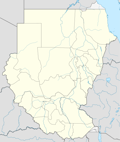
Deutsch: Positionskarte von Sudan, Stand 2005–2011
Quadratische Plattkarte, N-S-Streckung 103 %. Geographische Begrenzung der Karte:
English: Location map of Sudan (2005-2011)
Equirectangular projection, N/S stretching 103 %. Geographic limits of the map:
|
|
| תאריך יצירה | ||
| מקור |
נוצר על־ידי מעלה היצירה, using
|
|
| יוצר | NordNordWest | |
| אישורים והיתרים (שימוש חוזר בקובץ זה) |
הקובץ הזה מתפרסם לפי תנאי רישיון קריאייטיב קומונז ייחוס-שיתוף זהה 3.0 גרמניה.
 הקובץ הזה מתפרסם לפי תנאי רישיון קריאייטיב קומונז ייחוס-שיתוף זהה 3.0 לא מותאם.
|

_location_map.svg)
_location_map.svg?uselang=he)

|
This map has been made or improved in the German Kartenwerkstatt (Map Lab). You can propose maps to improve as well.
|
היסטוריית הקובץ
ניתן ללחוץ על תאריך/שעה כדי לראות את הקובץ כפי שנראה באותו זמן.
| תאריך/שעה | תמונה ממוזערת | ממדים | משתמש | הערה | |
|---|---|---|---|---|---|
| נוכחית | 14:00, 3 בפברואר 2011 | | 1,956 × 1,654 (564 ק"ב) | NordNordWest | == {{int:filedesc}} == {{Information |Description= {{de|Positionskarte von Brunei}} Quadratische Plattkarte. Geographische Begrenzung der Karte: * N: 5.2° N * S: 3.9° N * W: 113.9° O * O: 115.5° O {{en|Location map of [[:en:Brunei|Brune |
שימוש בקובץ
הדף הבא משתמש בקובץ הזה:
שימוש גלובלי בקובץ
אתרי הוויקי השונים הבאים משתמשים בקובץ זה:
- שימוש באתר ar.wikipedia.org
- שימוש באתר bs.wikipedia.org
- שימוש באתר ca.wikipedia.org
- שימוש באתר ceb.wikipedia.org
- שימוש באתר de.wikipedia.org
- שימוש באתר el.wikipedia.org
- שימוש באתר en.wikipedia.org
- 1957 African Cup of Nations
- 1970 African Cup of Nations
- 1971 Sudanese coup d'état
- 2011 African Nations Championship
- 2010 South Darfur clash
- Module:Location map/data/Sudan (2005-2011)/doc
- 1989 Sudanese coup d'état
- 1969 Sudanese coup d'état
- 1977 Sudan Juba coup attempt
- Module:Location map/data/Sudan (2005-2011)
- 1985 Sudanese coup d'état
- 1990 Sudanese coup attempt
- 1976 Sudanese coup attempt
- שימוש באתר es.wikipedia.org
- שימוש באתר fa.wikipedia.org
- שימוש באתר fr.wikipedia.org
- שימוש באתר hy.wikipedia.org
- שימוש באתר id.wikipedia.org
- שימוש באתר kn.wikipedia.org
- שימוש באתר mk.wikipedia.org
- שימוש באתר pl.wikipedia.org
- שימוש באתר pl.wikibooks.org
- שימוש באתר ru.wikipedia.org
- שימוש באתר simple.wiktionary.org
- שימוש באתר si.wikipedia.org
_location_map.svg)
_location_map.svg)