
קובץ:South Africa North West relief location map.svg

גודל התצוגה המקדימה הזאת מסוג PNG של קובץ ה־SVG הזה: 800 × 555 פיקסלים. רזולוציות אחרות: 320 × 222 פיקסלים | 640 × 444 פיקסלים | 1,024 × 711 פיקסלים | 1,280 × 888 פיקסלים | 2,560 × 1,777 פיקסלים | 1,265 × 878 פיקסלים.
לקובץ המקורי (קובץ SVG, הגודל המקורי: 1,265 × 878 פיקסלים, גודל הקובץ: 1.22 מ"ב)
| זהו קובץ שמקורו במיזם ויקישיתוף. תיאורו בדף תיאור הקובץ המקורי (בעברית) מוצג למטה. |
תקציר
| תיאור |
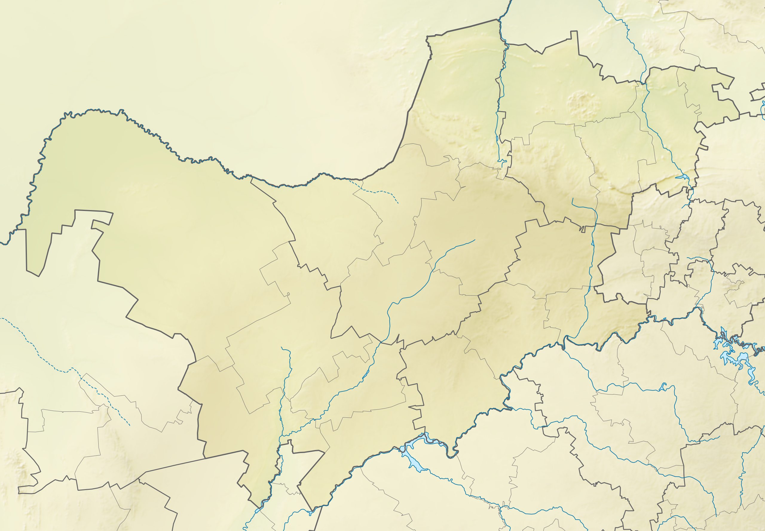
English: Relief location map of North West
Equirectangular projection, N/S stretching 111%. Geographic limits of the map:
|
| תאריך יצירה | |
| מקור | |
| יוצר | Htonl |
| אישורים והיתרים (שימוש חוזר בקובץ זה) |
אני, בעל זכויות היוצרים על עבודה זו, מפרסם בזאת את העבודה תחת הרישיון הבא: הקובץ הזה מתפרסם לפי תנאי רישיון קריאייטיב קומונז ייחוס-שיתוף זהה 3.0 לא מותאם.
|
| גרסאות אחרות | File:South Africa North West location map.svg |
היסטוריית הקובץ
ניתן ללחוץ על תאריך/שעה כדי לראות את הקובץ כפי שנראה באותו זמן.
| תאריך/שעה | תמונה ממוזערת | ממדים | משתמש | הערה | |
|---|---|---|---|---|---|
| נוכחית | 22:10, 6 בינואר 2013 | | 878 × 1,265 (1.22 מ"ב) | Htonl | == {{int:filedesc}} == {{Information |Description ={{en|Relief location map of en:North West (South African province) Equirectangular projection, N/S stretching 111%. Geographic limits of the map: * N: 24.5° S * S: 28.25° S * W: 22.5° E * E... |
שימוש בקובץ
הדף הבא משתמש בקובץ הזה:
שימוש גלובלי בקובץ
אתרי הוויקי השונים הבאים משתמשים בקובץ זה:
- שימוש באתר af.wikipedia.org
- שימוש באתר ar.wikipedia.org
- שימוש באתר bg.wikipedia.org
- שימוש באתר ceb.wikipedia.org
- שימוש באתר de.wikipedia.org
- שימוש באתר en.wikipedia.org
- Pilanesberg International Airport
- Nedbank Golf Challenge
- Pilanesberg National Park
- Madikwe Game Reserve
- Royal Bafokeng Nation
- Dikhololo Game Reserve
- Mahikeng Airport
- Platinum Classic
- Nedbank Affinity Cup
- Borakalalo Game Reserve
- Mabalingwe Nature Reserve
- Bospoort Dam
- Module:Location map/data/South Africa North West/doc
- Rustenburg Airfield
- Leon Taljaard Nature Reserve
- Hartbeespoort Aerial Cableway
- Mafikeng Game Reserve
- Botsalano Game Reserve
- Investec Cup
- Magaliesberg Biosphere Reserve
- Module:Location map/data/South Africa North West
- Sun City Challenge
- SuperSport Ladies Challenge
- Sun International Ladies Challenge
- MyGolfLife Open
- Magaliesberg Protected Natural Environment
- שימוש באתר eo.wikipedia.org
- שימוש באתר es.wikipedia.org
- שימוש באתר frr.wikipedia.org
- שימוש באתר fr.wikipedia.org
- שימוש באתר incubator.wikimedia.org
- שימוש באתר ja.wikipedia.org