
קובץ:Map of northern Rome, Piazza del Popolo, by Nolli.jpg

לקובץ המקורי (1,664 × 1,668 פיקסלים, גודל הקובץ: 1.33 מ"ב, סוג MIME: image/jpeg)
| זהו קובץ שמקורו במיזם ויקישיתוף. תיאורו בדף תיאור הקובץ המקורי (בעברית) מוצג למטה. |
תקציר
| תיאור |
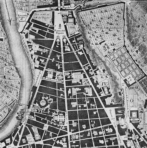
Deutsch: Karte des nördlichen Roms |
| תאריך יצירה | בסביבות ה- 1692 עד 1756 |
| מקור |
|
| יוצר | |
| Georeferencing | If inappropriate please set warp_status = skip to hide. |
רישיון
|
יצירה זו נמצאת בנחלת הכלל במדינת המקור ובמדינות אחרות בהם תקופת זכויות היוצרים היא משך חיי היוצר ו-70 שנה (או פחות) מפטירתו.
| |
| הקובץ הזה זוהה כקובץ חופשי מכל מגבלה ידועה תחת חוק זכויות היוצרים, כולל כל הזכויות הקשורות והסמוכות. | |
יומן העלאה מקורי
| date/time | username | edit summary |
|---|---|---|
| 15:36, 29. Mär 2005 | Maus-Trauden | |
| 15:33, 29. Mär 2005 | Maus-Trauden | (Karte des nördlichen Roms) |
היסטוריית הקובץ
ניתן ללחוץ על תאריך/שעה כדי לראות את הקובץ כפי שנראה באותו זמן.
| תאריך/שעה | תמונה ממוזערת | ממדים | משתמש | הערה | |
|---|---|---|---|---|---|
| נוכחית | 01:37, 21 באפריל 2006 | | 1,668 × 1,664 (1.33 מ"ב) | Crux | This image was copied from wikipedia:de. The original description was: Karte des nördlichen Roms Quelle: La nuova topografia di Roma Comasco von Giambattista Nolli, ca. 1692-1756 {{PD-old}} {| border="1" ! date/time || username || edit summary |---- |
שימוש בקובץ
הדף הבא משתמש בקובץ הזה:
שימוש גלובלי בקובץ
אתרי הוויקי השונים הבאים משתמשים בקובץ זה:
- שימוש באתר br.wikipedia.org
- שימוש באתר de.wikipedia.org
- שימוש באתר eu.wikipedia.org
- שימוש באתר fr.wikipedia.org
- שימוש באתר it.wikipedia.org
- שימוש באתר ru.wikipedia.org
- שימוש באתר sh.wikipedia.org
- שימוש באתר sv.wikipedia.org
- שימוש באתר uk.wikipedia.org