
קובץ:Map India and Pakistan 1-250,000 Tile NG 46-2 Towang.jpg

גודל התצוגה המקדימה הזאת: 794 × 600 פיקסלים. רזולוציות אחרות: 318 × 240 פיקסלים | 636 × 480 פיקסלים | 1,017 × 768 פיקסלים | 1,280 × 967 פיקסלים | 2,560 × 1,934 פיקסלים | 5,000 × 3,777 פיקסלים.
לקובץ המקורי (5,000 × 3,777 פיקסלים, גודל הקובץ: 9.46 מ"ב, סוג MIME: image/jpeg)
| זהו קובץ שמקורו במיזם ויקישיתוף. תיאורו בדף תיאור הקובץ המקורי (בעברית) מוצג למטה. |
| תיאור |
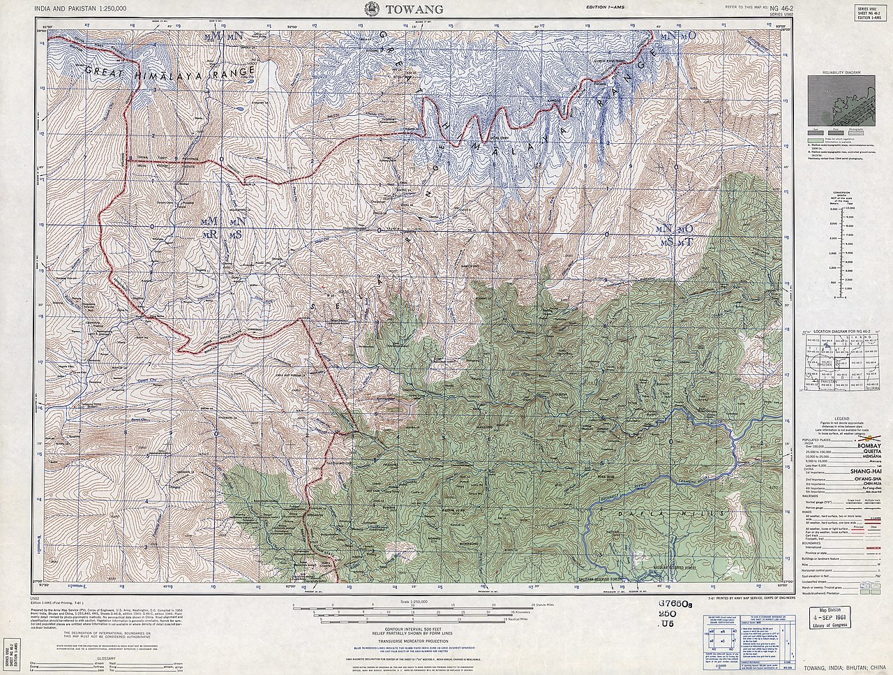
English: NG 46-2 Towang. Tile of the Map India and Pakistan 1:250,000. Series U502, U.S. Army Map Service, 1955 |
||||||
| תאריך יצירה | Printed 1961 by the U.S. Army Map Service, Corps of Engineers (compiled in 1955) | ||||||
| מקור | https://www.lib.utexas.edu/maps/ams/india/ [1] | ||||||
| יוצר |
English: U.S. Army Map Service |
||||||
| אישורים והיתרים (שימוש חוזר בקובץ זה) |
|
||||||
| Georeferencing | If inappropriate please set warp_status = skip to hide. | ||||||
| גרסאות אחרות |
|
||||||

.jpg)

![[1]](http://www.lib.utexas.edu/maps/ams/india/ng-46-02.jpg)
| Annotations | This image is annotated: View the annotations at Commons |
היסטוריית הקובץ
ניתן ללחוץ על תאריך/שעה כדי לראות את הקובץ כפי שנראה באותו זמן.
| תאריך/שעה | תמונה ממוזערת | ממדים | משתמש | הערה | |
|---|---|---|---|---|---|
| נוכחית | 09:50, 27 בינואר 2013 | | 3,777 × 5,000 (9.46 מ"ב) | Slick-o-bot | Bot: convert to a non-interlaced jpeg (see bug #17645) |
| 21:45, 11 בספטמבר 2012 |  | 3,777 × 5,000 (9.06 מ"ב) | Slick-o-bot | {{Information |Description={{en|1=NG 46-2 Towang. Tile of the Map India and Pakistan 1:250,000. Series U502, U.S. Army Map Service, 1955}} |Source=https://www.lib.utexas.edu/maps/ams/india/ [http://www.lib.utexas.edu/maps/ams/india/ng-46-02.jpg] |Date=... |
שימוש בקובץ
הדף הבא משתמש בקובץ הזה:
שימוש גלובלי בקובץ
אתרי הוויקי השונים הבאים משתמשים בקובץ זה:
- שימוש באתר en.wikipedia.org
- שימוש באתר it.wikipedia.org
- שימוש באתר kn.wikipedia.org
- שימוש באתר ru.wikipedia.org