
קובץ:Captain John Smith Statue, Historic Jamestowne, Colonial National Historical Park, Jamestown, Virginia (14239039490).jpg

לקובץ המקורי (4,000 × 3,000 פיקסלים, גודל הקובץ: 4.63 מ"ב, סוג MIME: image/jpeg)
| זהו קובץ שמקורו במיזם ויקישיתוף. תיאורו בדף תיאור הקובץ המקורי (בעברית) מוצג למטה. |
.jpg)
.jpg?uselang=he)
תקציר
| תיאור |
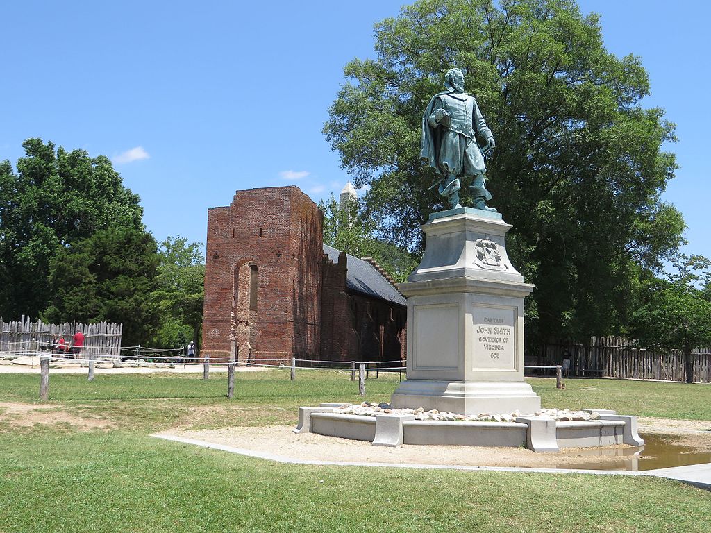
John Smith (c. January 1580 – 21 June 1631) Admiral of New England was an English soldier, explorer, and author. He was knighted for his services to Sigismund Bathory, Prince of Transylvania and his friend Mózes Székely. He was considered to have played an important part in the establishment of the first permanent English settlement in North America. He was a leader of the Virginia Colony (based at Jamestown) between September 1608 and August 1609, and led an exploration along the rivers of Virginia and the Chesapeake Bay. He was the first English explorer to map the Chesapeake Bay area and New England. Smith's books and maps are considered extremely important in encouraging and supporting English colonisation of the New World. He gave the name New England to the region and noted: "Here every man may be master and owner of his owne labour and land... If he have nothing but his hands, he may...by industrie quickly grow rich." When Jamestown was England's first permanent settlement in the New World, Smith trained the settlers to farm and work, thus saving the colony from early devastation. He publicly stated "he who shall not work, shall not eat". This strength of character and determination overcame problems presented from the hostile native Americans, the wilderness and the troublesome and uncooperative English settlers. Harsh weather, lack of water, living in a swampy wilderness, English unwillingness to work, and attacks from the Powhatan nation almost destroyed the colony. en.wikipedia.org/wiki/John_Smith_(explorer) en.wikipedia.org/wiki/Wikipedia:Text_of_Creative_Commons_... |
| תאריך יצירה | |
| מקור | Captain John Smith Statue, Historic Jamestowne, Colonial National Historical Park, Jamestown, Virginia |
| יוצר | Ken Lund from Reno, Nevada, USA |
| מיקום המצלמה | | תמונה זו ותמונות נוספות במיקום: OpenStreetMap |
|---|
.jpg¶ms=037.208275_N_-076.778989_E_globe:Earth_type:camera_source:Flickr_&language=he)
רישיון
- הנכם רשאים:
- לשתף – להעתיק, להפיץ ולהעביר את העבודה
- לערבב בין עבודות – להתאים את העבודה
- תחת התנאים הבאים:
- ייחוס – יש לתת ייחוס הולם, לתת קישור לרישיון, ולציין אם נעשו שינויים. אפשר לעשות את זה בכל צורה סבירה, אבל לא בשום צורה שמשתמע ממנה שמעניק הרישיון תומך בך או בשימוש שלך.
- שיתוף זהה – אם תיצרו רמיקס, תשנו, או תבנו על החומר, חובה עליכם להפיץ את התרומות שלך לפי תנאי רישיון זהה או תואם למקור.
| This image was originally posted to Flickr by Ken Lund at https://flickr.com/photos/75683070@N00/14239039490. It was reviewed on 3 בנובמבר 2016 by FlickreviewR and was confirmed to be licensed under the terms of the cc-by-sa-2.0. |
היסטוריית הקובץ
ניתן ללחוץ על תאריך/שעה כדי לראות את הקובץ כפי שנראה באותו זמן.
| תאריך/שעה | תמונה ממוזערת | ממדים | משתמש | הערה | |
|---|---|---|---|---|---|
| נוכחית | 19:24, 3 בנובמבר 2016 | | 3,000 × 4,000 (4.63 מ"ב) | Ser Amantio di Nicolao | Transferred from Flickr via Flickr2Commons |
שימוש בקובץ
הדף הבא משתמש בקובץ הזה:
שימוש גלובלי בקובץ
אתרי הוויקי השונים הבאים משתמשים בקובץ זה:
- שימוש באתר ar.wikipedia.org
- שימוש באתר arz.wikipedia.org
- שימוש באתר az.wikipedia.org
- שימוש באתר ca.wikipedia.org
- שימוש באתר ce.wikipedia.org
- שימוש באתר cy.wikipedia.org
- שימוש באתר da.wikipedia.org
- שימוש באתר en.wikipedia.org
- שימוש באתר eo.wikipedia.org
- שימוש באתר eu.wikipedia.org
- שימוש באתר fr.wikipedia.org
- שימוש באתר pl.wikipedia.org
- שימוש באתר ru.wikipedia.org
- שימוש באתר tt.wikipedia.org
- שימוש באתר uz.wikipedia.org
- שימוש באתר www.wikidata.org
.jpg)