
קובץ:BlankMap-World-Subdivisions.PNG
גודל התצוגה המקדימה הזאת: 800 × 395 פיקסלים. רזולוציות אחרות: 320 × 158 פיקסלים | 640 × 316 פיקסלים | 1,500 × 740 פיקסלים.
לקובץ המקורי (1,500 × 740 פיקסלים, גודל הקובץ: 118 ק"ב, סוג MIME: image/png)
| זהו קובץ שמקורו במיזם ויקישיתוף. תיאורו בדף תיאור הקובץ המקורי (בעברית) מוצג למטה. |

|
קיימת תמונה חדשה תמונה זו בגרסה וקטורית בפורמט "SVG". יש להחליף את התמונה הנוכחית בתמונה החדשה.
File:BlankMap-World-Subdivisions.PNG → File:Blank Map World Secondary Political Divisions.svg
למידע נוסף אודות גרפיקה וקטורית, אנא קראו אודות המעבר של ויקישיתוף לתמונות בפורמט SVG. ראו גם מידע אודות התמידה של מדיה-ויקי בתמונות בפורמט SVG. |
 |
h
תקציר
| תיאור |
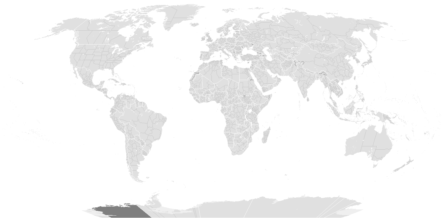
English: A blank world map showing subdivisions of the world. Areas in black boxes are unrecognized countries or disputed territories (Kashmir). Feel free to fix subdivisions (mainly Russia, Mongolia, and Kazakhstan. If you use the subdivision maps for any other image I strongly advise changing the subdivision colours to suit your purposes (eg. In Photoshop use the bucket of paint thing with contiguous and anti-alias turned off and click on any subdivision border with your preferred colour.) The colours chosen here are to differentiate the types of borders, not dictate use.
Français : Carte du monde vierge montrant les subdivisions de premier niveau de chaque pays. Les régions encadrées en noir montrent des États non reconnus ou des territoires disputés (comme le Cachemire. Ne vous gênez pas pour arranger certaines limites de subdivisions — notamment en Russie, en Mongolie et au Kazakhstan. Si vous utilisez cette carte pour faire une autre image, il vous est vivement conseillé d’en changer les couleurs pour qu’elles conviennent à votre usage ; ces couleurs-ci ne sont choisies que pour distinguer les différents types de frontières. |
||
| תאריך יצירה | |||
| מקור |
|
||
| יוצר |
English: see upload log? |
||
| אישורים והיתרים (שימוש חוזר בקובץ זה) |
|
||
| גרסאות אחרות | Derivative works of this file: BlankMap-World-Subdivisions1.png |
Key
|
Water-bodies
Landmasses
Unclaimed Landmasses
National Borders
Subnational Borders
|
Colours
| Name | Decimal | Hex | |
| Water-bodies: | 255,255,255 | #FFFFFF | |
| Landmasses: | 224,224,224 | #E0E0E0 | |
| Unclaimed Landmasses: | 127,127,127 | #7F7F7F | |
| National Borders: | 255,255,255 | #FFFjjj | |
| Subnational Borders: | 202,202,202 | #CACACA |
| Annotations | This image is annotated: View the annotations at Commons |
היסטוריית הקובץ
ניתן ללחוץ על תאריך/שעה כדי לראות את הקובץ כפי שנראה באותו זמן.
| תאריך/שעה | תמונה ממוזערת | ממדים | משתמש | הערה | |
|---|---|---|---|---|---|
| נוכחית | 01:36, 15 במרץ 2020 | | 740 × 1,500 (118 ק"ב) | Dylmur | Reverted to version as of 18:58, 14 March 2020 (UTC) hopefully this works again |
| 22:00, 14 במרץ 2020 |  | 740 × 1,500 (91 ק"ב) | Dylmur | Reverted to version as of 00:56, 29 October 2017 (UTC) didn’t work | |
| 21:58, 14 במרץ 2020 |  | 740 × 1,500 (118 ק"ב) | Dylmur | Ladakh (2019) | |
| 03:56, 29 באוקטובר 2017 |  | 740 × 1,500 (91 ק"ב) | Erhik | Golan Heights | |
| 03:25, 29 באוקטובר 2017 |  | 740 × 1,500 (91 ק"ב) | Erhik | Minor adjustments in Oceania, Ukraine. | |
| 14:27, 10 באוקטובר 2017 |  | 740 × 1,500 (104 ק"ב) | Expertseeker90 | Major overhall to the projection! Continents, coastlines, national boundary and internal boundaries fixed. Islands, atolls and reefs added or adjusted! | |
| 00:34, 5 ביולי 2017 |  | 740 × 1,500 (100 ק"ב) | Forthrunner | Catalonia isn't independent | |
| 12:47, 21 ביולי 2016 |  | 740 × 1,500 (67 ק"ב) | Simonsyo | Added British Regions. | |
| 21:21, 19 בינואר 2016 |  | 740 × 1,500 (67 ק"ב) | Userboker | Added new French regions as of 2016, fixed Catalonia being represented as independent | |
| 17:58, 16 בדצמבר 2014 |  | 740 × 1,500 (83 ק"ב) | Ransewiki | Did not work last time. |
שימוש בקובץ
![]() אין בוויקיפדיה דפים המשתמשים בקובץ זה.
אין בוויקיפדיה דפים המשתמשים בקובץ זה.
שימוש גלובלי בקובץ
אתרי הוויקי השונים הבאים משתמשים בקובץ זה:
- שימוש באתר de.wikipedia.org
- Vorwahlergebnisse der Präsidentschaftswahl in den Vereinigten Staaten 2008
- Vorwahlergebnisse der Präsidentschaftswahl in den Vereinigten Staaten 2016
- Vorwahlergebnisse der Präsidentschaftswahl in den Vereinigten Staaten 2020
- Vorwahlergebnisse der Präsidentschaftswahl in den Vereinigten Staaten 2024
- Benutzer:Sarkana/Vorwahlergebnisse 2024
- שימוש באתר en.wikipedia.org
- שימוש באתר fr.wikipedia.org
- שימוש באתר sv.wikipedia.org
- שימוש באתר zh.wikipedia.org